My first open Sunday in a month or so turned out to be a perfect, sun-touched spring day. On the 3-mile cycle ride to church in the morning I knew I would be taking my time on the way home—I’ve long been itching to properly soak up the green corners I whiz past on my bike every week, catching them only in my peripheral vision. A full schedule, bad weather, and bike-sapped energy have kept me from deviating much from that route until today.

Cherry Hinton Hall Park
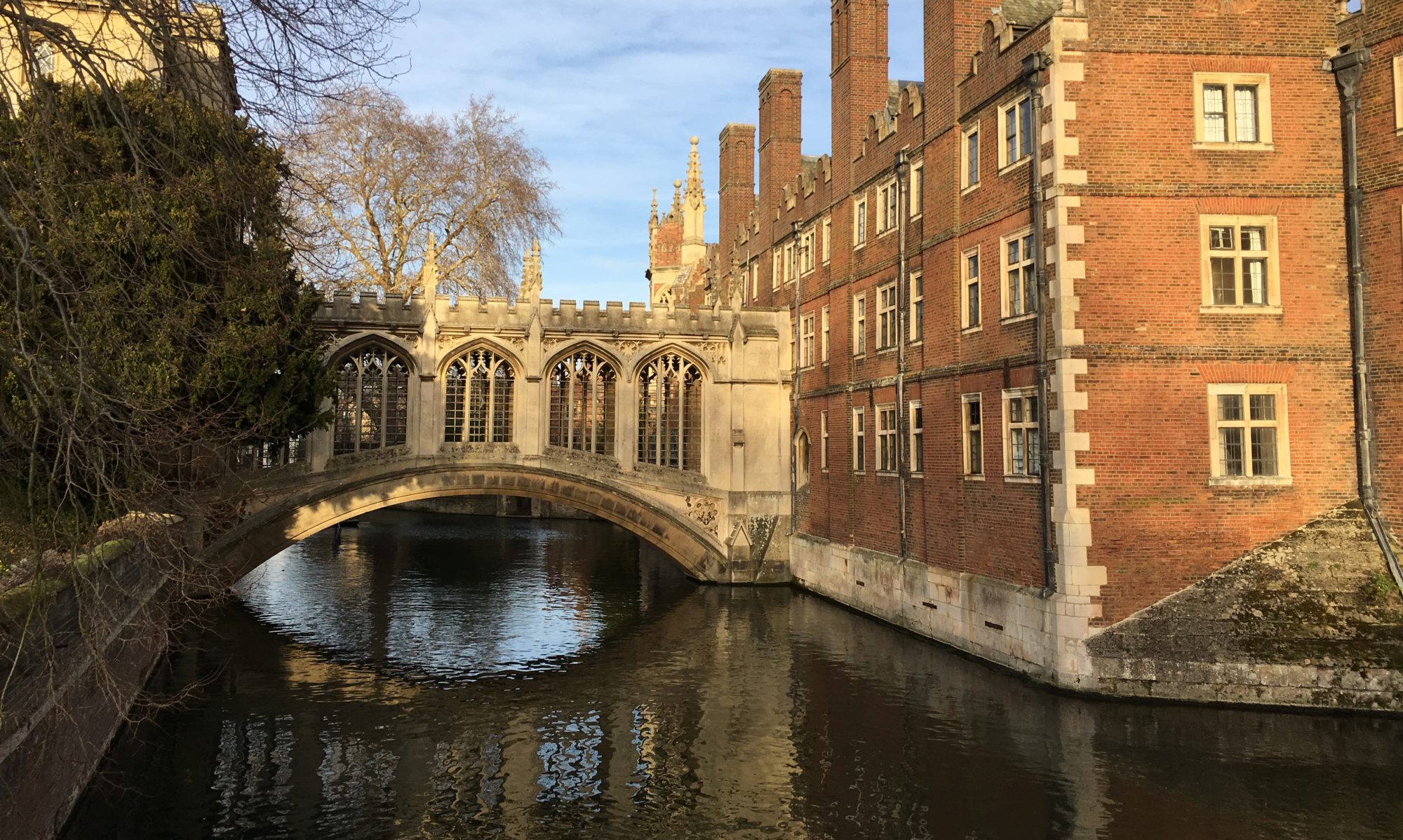
The Cambridge meetinghouse of The Church of Jesus Christ of Latter-day Saints is in Cherry Hinton, one of those outlying suburbs of Cambridge. Few members with cars live near me, and the bus requires an extra 20 minutes of walking, so most weeks I put on leggings and cycle to church. The route from my flat in Newnham (the neighborhood surrounding Newnham College, which is also considered a Cambridge suburb) to the church takes me through several parks and fenland, over the Cam, for a stint on a tree-lined cycle path, and finally down a long commercial road. The green space makes the ride worth it, even when I’m only glancing. Today was even better.
Here’s a tour of the ride I went on today, in church-to-home order.
Church
The LDS meetinghouse is a medium-sized low-lying brick building with two wings of classrooms and a roomy chapel, a big lawn, and a car park, all enclosed by a green iron fence. The tell-tale, stylized spire pokes above the surrounding suburban houses. At least one elderly couple in the congregation remember helping to build the building in the 1960s. Around one hundred people attend church regularly, coming from miles of surrounding villages; probably half of them are young Americans affiliated with the US military bases or working for tech companies. Besides me there are only three other University of Cambridge students (all undergrads) and one Cambridge professor who attend—the rest are town, not gown. It’s a warm, supportive community, if a little scattered. I’m glad to be a part of it.
Cherry Hinton Hall Park
Just across the street from the meetinghouse is a spacious park, which it took me a few months to notice because it’s screened by hedges. Through the gaps in the hedge the park is green and inviting, crisscrossed by paths, edged by a brook, and active with joggers, children, dog owners throwing balls. I locked my bike to a bench and wandered the dirt paths around the brook, where mallards and swans were drifting and moorhens were making their funny reedy trills. The brook marked what felt more like a wild space, dense and disorganized with vegetation, so many stems and branches matting the shore and clumping sunnily into the water. The trees were full of birdsong—I spotted robins, blackbirds, tits—that seemed to turn the sunshine audible. I tried to follow a butterfly so yellow it was neon, and lost it in the brush. But the path didn’t go more than a few trees deep before meeting a fence with houses on the other side. I went back instead to the open leisure of the close-mowed green spread with big shade trees, where people lounged and played. I can appreciate that human kind of green, too.


Cherry Hinton Road
I thought about walking this long stretch of run-of-the-mill shops and assorted properties just for the human interest—there are plenty of sketchy phone repair shops and shabby gyms and tucked-away schools here that I have yet to take in from my bike. But a mile and a half is a long way and I had other priorities, so I cycled.
Brooklands Ave
After a jaunt over the train tracks and past one of the most heavily commercialized corners of Cambridge—i.e. the shiny “Cambridge Leisure Park” featuring chain restaurants, IMAX cinema, hotel, bowling, etc., and other businesses, tech offices, and gentrified flats around the train station—I turned onto what I think of as a calmer, tree-lined connection to the next real green space. The quiet privacy of this road intrigues me even more than Cherry Hinton Road, with glimpses of stately brick through yet more hedges along the slightly bumpy bike path, but I didn’t get off my bike until the edges of the Cambridge Botanic Garden became visible through the fence. It wasn’t my destination—better to save that for a dedicated visit—but it drew me just the same. That impulse led to just the kind of serendipitous turn I was hoping for.
Hobson’s Brook
I knew vaguely that there was a brook running along the edge of the Botanic Garden, but I had never noticed (I’m constantly amazed by how unobservant I am on a bike) the opening in the fence to a narrow pedestrian walkway, bowed over with low-growing trees, that follows the brook. I savored the mystique of the green light and grotto-like closeness of the trees, but the water was encased in concrete and very stagnant, and as in Cherry Hinton Park, the path came quickly back out onto the street.

However, when I returned to the entrance, I realized the path continued in the other direction across the road. I took it, and was soon tingling with the satisfaction of having discovered a jackpot of an idyll. The brook here moved enough to be pleasant; the trees were tall and woven with ivy and full of birds; just beyond them was a sunny patchwork of community garden. Community gardens, with their jumble of productivity and whimsy, never fail to charm me. People’s small rows of green but up against sheds, wheelbarrows, makeshift fences made from crates, bins with weeds growing out of them, scarecrows, windmills, prim benches or rusty folding chairs twined with vines. On a day like today there were people digging and forsythia blooming bright yellow. Google Maps told me this was Empty Common Community Garden, a teasing misnomer.


The dirt path went on, striped with tree- and fence-shadow and busy with rambling families, past a strip of green field which was actually empty, except for grass and an interloping couple; I imagine cows will wander there soon. On the other side of the brook I noticed flats, both the clean timber-and-glass right angles of the new developments and blocky concrete of older ones. There was also a mysterious neglected, ivy-strewn concrete wall which I suspect may correspond to what Google Maps claims is a nuclear bunker (confirmed by this article). Past a stretch of college sports pitches, the path opened onto an expanse of open field and finally reached a highway, so I turned around and went back through the haven of woods and garden.

I realized somewhere along the path that I had followed it before—on Google Maps. I spend a lot of time on Google Maps, on satellite mode, contextualizing my daily routes and daydreaming about new ones I want to take. This particular one had already been suggested to me by a sage, recently retired Cambridge Plant Sciences professor who still spends time at the department, and who knows the green spaces of Cambridge and its surrounding country intimately. In other words, a gold mine for a place hunter. I didn’t even have to ask before, during various lunches, he started recommending places to sniff out. “Hobson’s Brook,” he said. “You know the one that goes along Trumpington Street and in front of the Botanic Garden? You can follow it all the way to where it comes out of the chalk at Ninewells. It’s a nice walk.” I had immediately scouted it out on Google Maps and found the faint gray line—navigable ground—tracing the aerial view of dense canopy, the community garden, the squares of sports pitches, the open field, hitting the highway, but going on into the hinterlands of fields and retaining ponds and warehouses until the meandering “Hobson’s Brook” label stopped appearing. I determined I would make a morning of it sometime.
And here I was, venturing accidentally after the promise of path and source—partway, that is. I still plan to go back, more deliberately, and push as far as I can follow. This afternoon, though, I still had one more stop.
(Wikipedia, that other fountain of place knowledge, tells me Hobson’s Brook [or Conduit] was built as a water source, linking up springs out in the chalk to diversions from a Cam tributary, in the early 1600s. Cambridge is thoroughly human territory.)
Paradise Fen and Hodson’s Folly
My favorite part of my usual route is a wedge of fenland around the River Cam, a shortcut accessible only to cyclists and pedestrians. (I had intended to give this a blog post all its own, and maybe I still will.) Fen is a term for the marshy land around waterways—wetlands, essentially–which is what all of Cambridge and its larger region used to be, until it was drained to make it arable.
This fen is part of a network of jewel-green fragments of hummocky grass grazed by woolly brown cattle in the summer, webbed with brooks running to the Cam. My brookside path is asphalt, a little winding and ribbed with tree roots in places, but takes me where I need to go via an obligingly beautiful milieu. (It follows, incidentally, the same brook which Hobson’s Brook is diverted from, Vicar’s Brook.) This is where I’m most in danger of crashing or veering into the brook (hasn’t happened yet) because I don’t want to keep my eyes on the asphalt.
I was especially interested today in pulling off the path just before the bridge over the Cam. I had noticed the crumbling stone wall with a little peaked façade at the water’s edge, but I had never thought about what it might be (other than the remains of some farm outbuilding or mill) and had, indeed, never noticed the interpretive sign next to it until this morning when I saw someone reading it. Now I fulfilled my newfound curiosity. The sign named the structure “Hodson’s Folly”—a wealthy and apparently frivolous Victorian (John Hodson, butler of Pembroke College, not the same as Hobson), in 1887, had wanted a decorative wall around his daughter’s bathing spot, complete with a changing shelter and neoclassical facade. “Still a welcoming spot for cyclists and amblers to enjoy the river,” the sign said, and I realized the gate opened onto a sturdy concrete pad, not a disintegrating ruin. In fact, there was already a covey of young people smoking and chatting there, so I didn’t stay long. But the view was charming—light playing on the water (and flaring in my eyes and camera), punts and swans drifting along, a cluster of sheep on the private green down the river. I’ll have to go back, and imagine Victorian afternoon swims.


Lammas Land
Although Hodson’s Folly was my last ambling stop, there’s one more landmark of note on this route, just on the other side of the Cam—another park, this one bursting with colorful leisure-seekers. It has a wading pool, and is the most oft-recognized landmark when I describe where I live to people who grew up in Cambridge. I still haven’t quite figured out why it’s called Lammas Land—I think Lammas is a pagan/Christian festival day.
(From that junction is also the riverside path to Grantchester, a favorite walk of anyone who lives near Newnham. Expect a post on that sometime in the future.)
Congratulations for getting through a post as rambling as my cycle home today. I certainly enjoyed it.
Anne, you are very vivid writer. I enjoy reading your blog.
Thank you!
I can almost picture your views in my mind, then your snapshot makes me think” yes, just like that!” What a beautiful way to and from church Anne. Be safe and keep writing💗🙏🏻
Thank you!
I’m always amazed at how much open, green space there is in an area so adored by tourists as that area is. It seems like more people would want to move there and would crowd those lovely places. I’m glad they haven’t. I loved your pictures and descriptions! I hope you are always safe on your adventures.
Not to mention inhabited for so long! Thanks 🙂